
Projects
Check out what we have planned over the next 5 years!

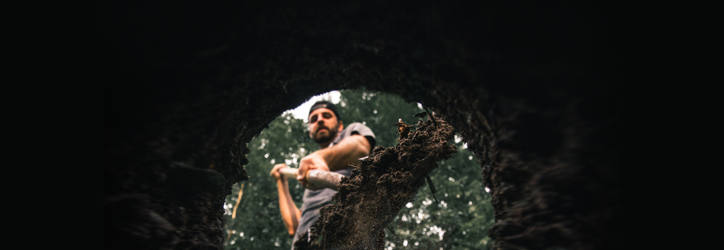
The Friendly Giant…
aka Buchanan Bidirectional Trail and High Commander
This has been a BIG project for KMBC that links some existing trails on Mnt. Buchanan to an epic climb up the west side that takes you to the lookout and the old fire tower at the top of Mt. Buchanan.
Starting with a climb that begins beside the Upper Songbird and Moose Meadow Cabin, the Friendly Giant trail continues up through a beautiful poplar grove, crossing meandering creeks, and takes you to the upper warming hut (Bucky Cabin). This is a great place to take a break or shuttle the bottom half of the Friendly Giant or High Commander. The Friendly Giant trail then continues, peaking at the Buchanan lookout, with a total climb of 17.8km and vertical gain of 1327m. Riders can then choose the fun, flowy descent back down the bidirectional Friendly Giant or access the notorious, gnarly, and technical double-black “Monster”.
This mega project has been the backbone to future trails on Mount Buchanan that will split off and descend back to valley bottom, including the newly finished punchy, tight and fast blue trail “High Commander”. Becoming a local favourite, High Commander can be accessed just below the Bucky Cabin and can easily be shuttled to via the Mnt. Buchanan FSR or accessed by climbing the lower half of the Friendly Giant. Both trails link back to the historical wagon road, where you can ride back into Kaslo to enjoy local drinks and/or food at one of our many eateries.
To access a trail map visit https://www.trailforks.com/region/kaslo/

Proposal for Milford Ridge Trail
(The Epic Trail)
This signature trail will be a ridge top mega trail starting at Mt Buchanan and following ridges over to Milford peak. It will link you toward the Empire basin. This trail will be multi directional with climbs, descents, peaks and cols. Challenging, adventurous, sustained and breathtaking in scope, the Milford Ridge will be a truly epic ride. Total length of about 13km with elevation change of 967m and a max elevation of 2305m!